careers
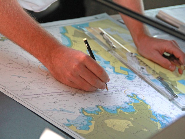
Cartographers and Photogrammetrists
Agriculture and Environment
Description
Research, study, and prepare maps and other spatial data in digital or graphic form for one or more purposes, such as legal, social, political, educational, and design purposes. May work with Geographic Information Systems (GIS). May design and evaluate algorithms, data structures, and user interfaces for GIS and mapping systems. May collect, analyze, and interpret geographic information provided by geodetic surveys, aerial photographs, and satellite data.
Potential Job Titles
["Aerial Photogrammetrist","Cartographer","Cartographic Designer","Digital Cartographer","Mapper","Photogrammetric Technician","Photogrammetrist","Stereo Compiler","Stereoplotter Operator"]
Available Apprenticeships
Cartographic Drafter
Geospatial Specialist
Geospatial Specialist
Register for Free
What can we help your business with today?
Here are a few potential projects just for businesses like you:


No cost to join. Post a task. Hire top talent.

The Talent Marketplace
A Delaware Public Benefit Corporation

Registered Apprenticeship Program
Training Provider

SBIR Phase I Recipient

Industry Partner